Facilities
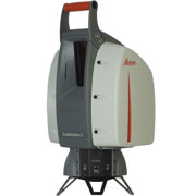
Leica ScanStation 2: Terrestrial Laser Scanner (2 Units)
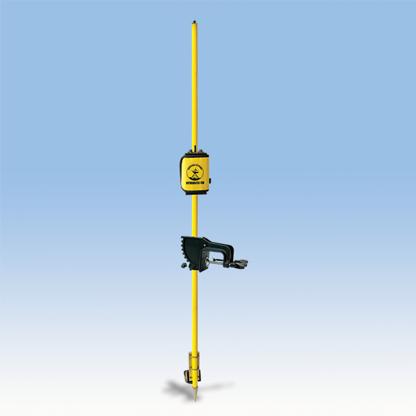
Hydrolite: Hyrdrographic Survey Kit
LIDAR Sensor
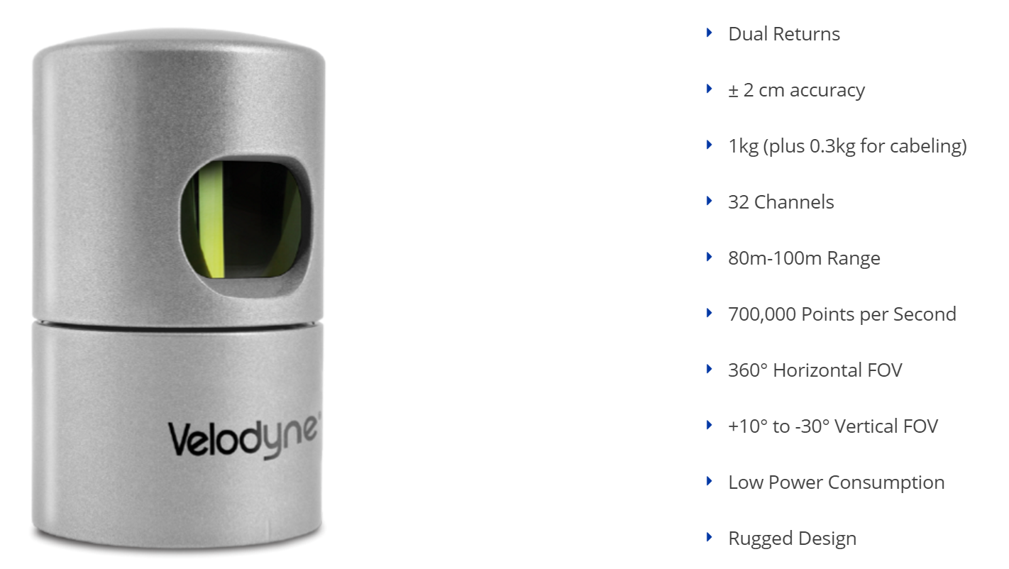
Source: Velodyne LiDAR
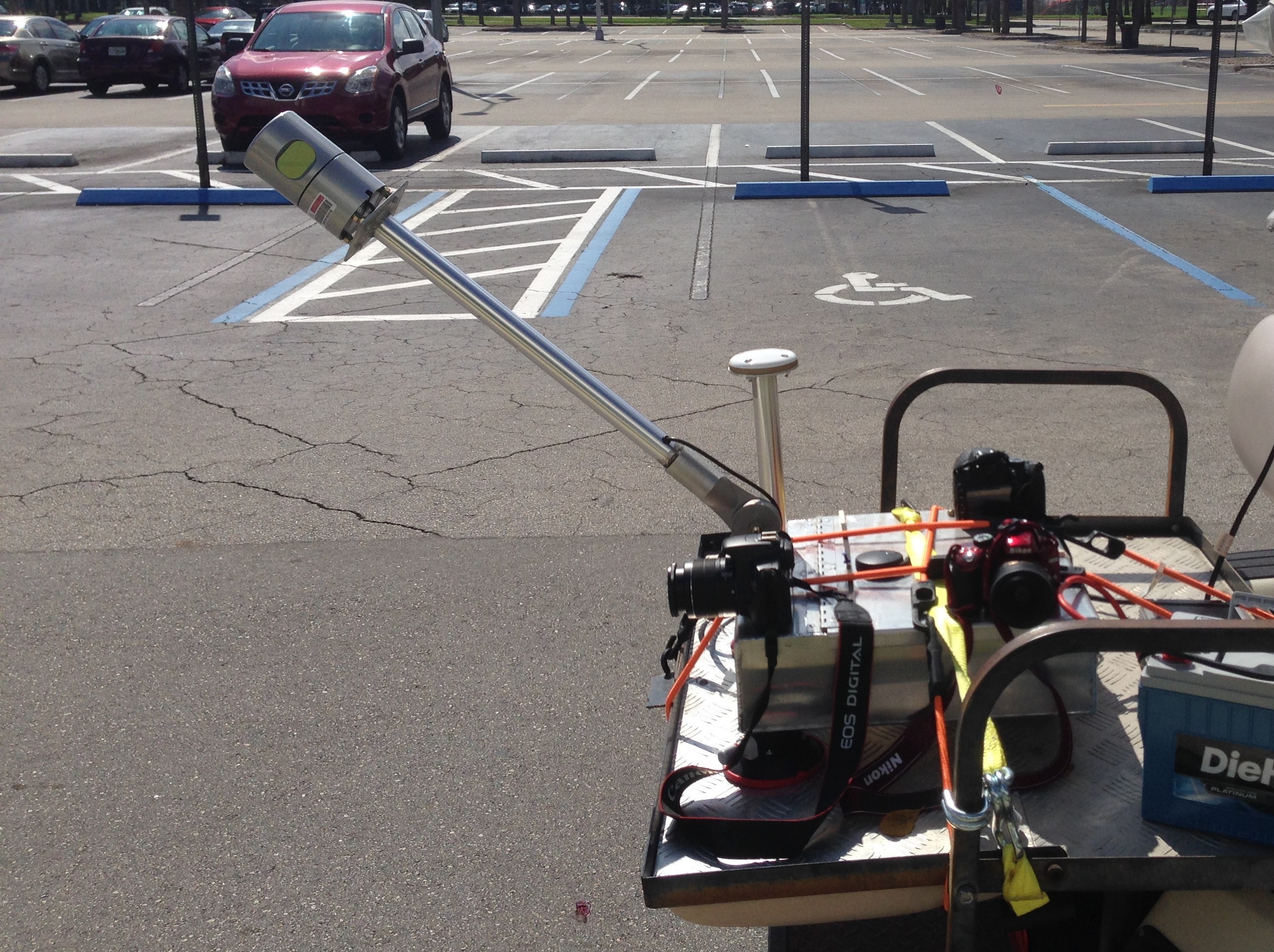
Ground Based Mobile LIDAR System
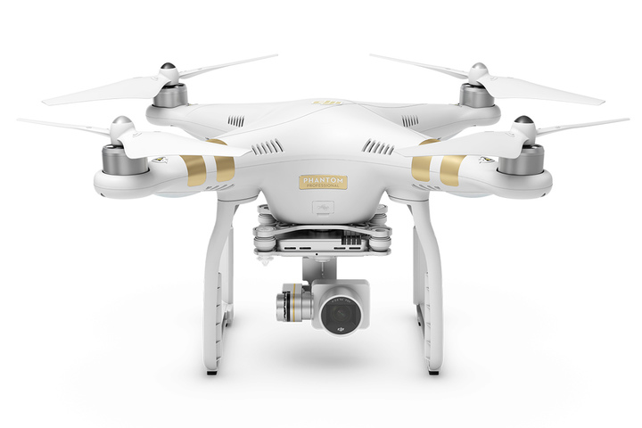
UAV Based Mobile LIDAR System

DJI Professional 3 for Image Based 3D Mapping
Pix4D Software for UAV Image Processing Software for 3D Mapping
![]()
Leica Cyclone Software for Terrestrial Laser Point Cloud Processing and Modeling