NSF Project
This page presents research outcomes, software, datasets, and experimental demonstrations from research activities in spatial databases, spatial network processing, and graph algorithms.
Our research focuses on developing efficient algorithms and systems for managing, processing, and analyzing spatial network data.
Multi-Resource Network Voronoi Diagram
Spatial Network Algorithms
Contributor
Ahmad Qutbuddin
Problem Definition
Given a spatial network and a set of service center nodes from k different resource types, a Multiple Resource-Network Voronoi Diagram (MRNVD) partitions the spatial network into a set of service areas. The objective is to minimize the total cycle distances of graph nodes to their allocated service centers for different resource types.
Societal Applications
The MRNVD problem is important for critical societal applications, including the allocation of essential survival supplies such as food, water, gas, and medical assistance to residents affected by natural or man-made disasters.
Software and Resources
Spatial Network Database Processing Platform
Spatial Database Systems
Contributors
Ariful Islam and KwangSoo Yang
Description
Transforming raw data into structured data, such as relational database tables or graph structures, requires several processing steps. These steps include correcting inaccuracies, handling missing values, and standardizing data formats. The Spatial Network Database Processing Platform PASTE-THE-REST-OF-THE-DESCRIPTION-HERE
Vehicle Sensor Data
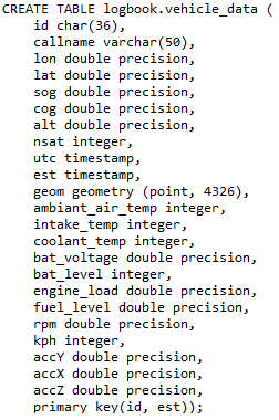
The platform accesses vehicle data through OBD interfaces, including:
GPS Coordinates, Vehicle Speed, Engine RPM, Accelerator, Engine Load, Battery Level, Ambient Temperature, Intake Temperature, Coolant Temperature
System Architecture
01 Vehicle OBD Data
↓
02 Data Access and Parsing
↓
03 Relational Data Model
↓
04 Spatial Database Construction
↓
05 Spatial Network Analysis
Software and Resources
Experimental Demonstrations
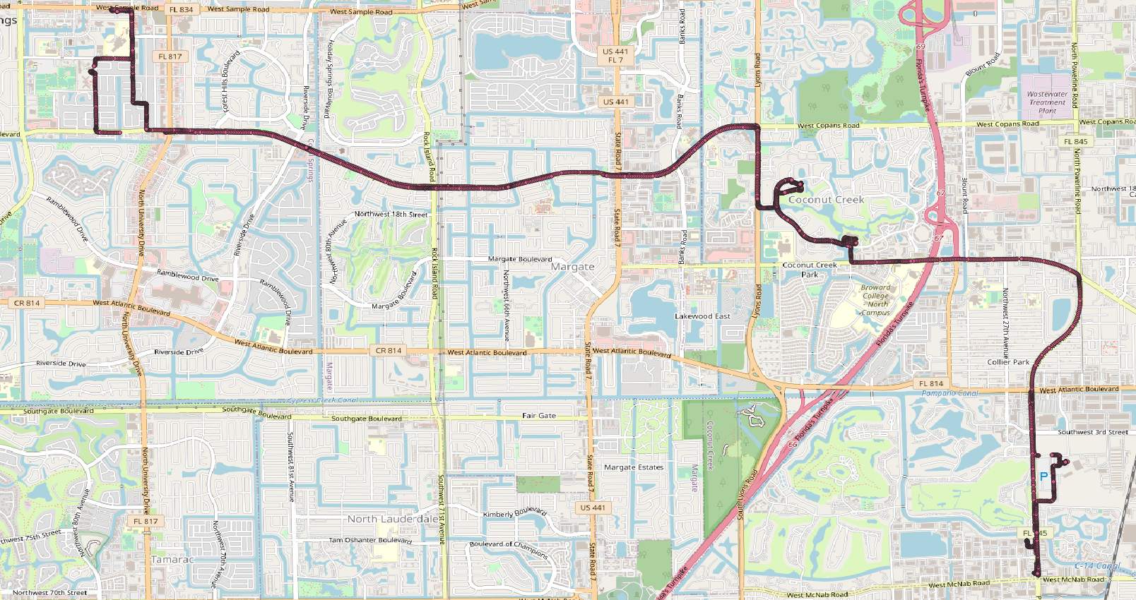
The following visualizations demonstrate trajectory and vehicle sensor data collected and processed by the Spatial Network Database Platform.
Spatial Database Schema
The vehicle data is organized in a relational database schema that includes GPS coordinates, timestamps, vehicle sensor measurements, and spatial geometry.