
-
Recent Posts
- Dr. Hongbo Su received the Certification in Effective Teaching from ACUE
- Dr. Hongbo Su completed an ACUE course training on “Promoting Active Learning Online”
- New Research Boosts Flood Risk Planning with Smarter Mapping Tools
- Dr. Hongbo Su completed an ACUE course training on “Inspiring Inquiry and Preparing Lifelong Learning”
- Dr. Hongbo Su completed a training on “Creating an Inclusive and Supportive Online Learning Environment”
Archives
- April 2026
- March 2026
- August 2023
- July 2023
- April 2023
- December 2022
- October 2022
- February 2022
- November 2021
- September 2021
- August 2021
- July 2021
- January 2021
- March 2020
- September 2019
- August 2019
- July 2019
- March 2019
- January 2019
- September 2018
- July 2018
- February 2018
- August 2017
- March 2016
- February 2016
- October 2015
- September 2015
- August 2015
- August 2014
Categories
Meta
Category Archives: Research
Setting up the software environment of deep learning (Tensorflow) on Windows
Tensorflow is a popular framework for deep learning. Ideally, the deep learning software tools and programs should be delpoyed on a Linux server which is more stable and more efficient to make use of the GPU computation power. Running the …
Posted in Research
Comments Off on Setting up the software environment of deep learning (Tensorflow) on Windows
Debojit Biswas passed the oral defense to his dissertation
Congratulations to Debojit Biswas! Debojit passed the defense of his dissertation titled “Real Time Traffic Monitoring System from a UAV Platform” on March 18, 2019.
Debiojit’s Ph.D. study was advised by
PH.D. SUPERVISORY COMMITTEE:
Hongbo Su, Ph.D., Chair
Sudhagar …
Soil salinity mapping in Everglades National Park using remote sensing techniques and vegetation salt tolerance
A research paper was published by
Physics and Chemistry of the Earth, Parts A/B/C
Summary: Everglades National Park (ENP) is a hydro-ecologically enriched wetland with varying salinity contents, which is a concern for terrestrial ecosystem balance and its nearby urban …
Posted in News, Publication, Research
Comments Off on Soil salinity mapping in Everglades National Park using remote sensing techniques and vegetation salt tolerance
An automatic traffic density estimation using Single Shot Detection (SSD) and MobileNet-SSD
A research paper was published by
Physics and Chemistry of the Earth, Parts A/B/C
Summary: Traffic density estimation is a very important component of an automated traffic monitoring system. Traffic density estimation can be used in a number of …
Posted in News, Publication, Research
Comments Off on An automatic traffic density estimation using Single Shot Detection (SSD) and MobileNet-SSD
Decision support system for urban major hazard installations management based on 3DGIS
A journal article on the application of 3DGIS was recently published by Wenjiang Chen, Hongbo Su, Yong Yan and Zhaoji Hu on
Physics and Chemistry of the Earth, Parts A/B/C
Highlights of the Article:
- • A 3D reconstruction method of
Posted in News, Publication, Research
Comments Off on Decision support system for urban major hazard installations management based on 3DGIS
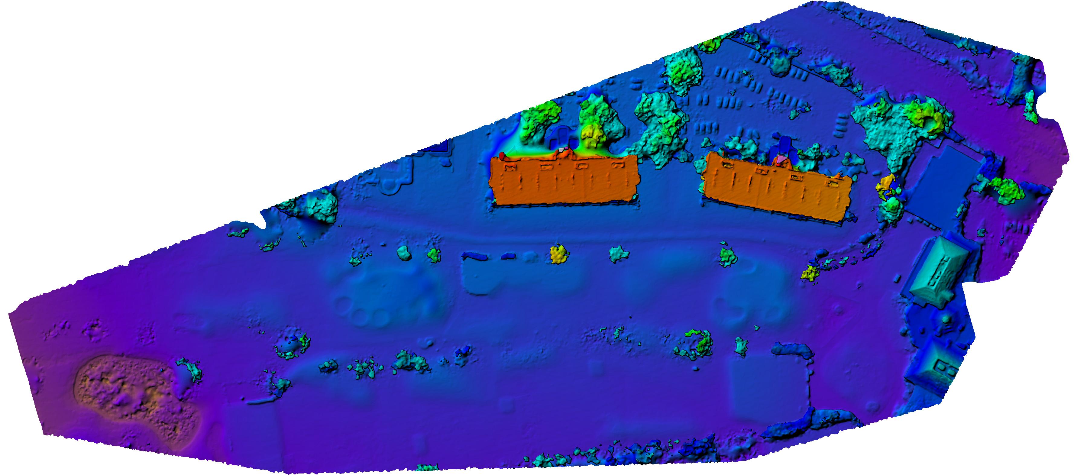
Mapping Historical Changes in Florida’s Coastline from 1875 to 2000
Florida’s beaches are highly dynamic coastal features. They are vulnerable to accretion and erosion over time due to human interaction and climate change stressors such as storm activity. This research used a well-documented record of historical land surveys and literature, …
Jason Blankenship was awarded the Francis H. Moffitt Memorial Scholarship from ASPRS
FAU Geomatics graduate student, Jason Blankenship, won the Francis H. Moffitt Memorial Scholarship from the American Society for Photogrammetry and Remote Sensing (ASPRS) during the ASPRS 2018 meeting in Denver Colorado on Feb. 6, 2018. Jason received $7000 and one-year …
We developed a new approach to count cars on the road automatically using traffic cameras
Posted in News, Publication, Research
Comments Off on We developed a new approach to count cars on the road automatically using traffic cameras
FAU Faculty visited Keith & Schnars Office in Ft. Lauderdale on Oct. 16
Drs. Kaisar, Teegavarapu, Nagarajan and Su visited Keith & Schnars Office in Ft. Lauderdale to meet with the administrative team and the technical team of K&S on Oct. 16. Both sides agreed to seek future collaborations on Geomatics, Transportation and …